


Understanding Oceania, and how each country and state share similarities yet are distinctly different.
Malaysians seldom use the word “Oceania”, yet the region is not really that far away from us. It stretches across the vast central and southern Pacific Ocean, encompassing Australia and New Zealand, then extending northward and eastward to countless islands, atolls and coral reefs scattered across the sea like tiny stars.
Those who enjoy history may know that a significant part of the Pacific region during World War II unfolded across these waters. Many islands that appear insignificant on today’s map were once military bases, airfields, ports or vital supply stations.
Some became fiercely contested battlegrounds between Japan and the United States, with tremendous casualties on both sides. One of the most famous was the Battle of Guadalcanal in the Solomon Islands.
After World War II, many of Oceania’s small island territories gradually moved towards independence. Today, including Australia and New Zealand, there are 14 sovereign United Nations member states in Oceania.
Interestingly, 11 of them are members of the Commonwealth, just like Malaysia.
So, when you have some free time, look up Oceania on the world map. Of these 14 countries, how many have you actually heard of?
Here’s another question that some fellow travellers have asked me: The typhoons that sweep towards the Philippines, Okinawa in Japan, Taiwan, Hong Kong and southern China several times a year – including storms such as Bavi and Dolphin – do they originate somewhere out here in the Pacific?

The answer is yes, kind of.
The warm waters of the western North Pacific, particularly in the east of the Philippines, form one of the world’s most active regions for tropical cyclones. With high sea temperatures, abundant moisture and the right atmospheric conditions, tropical depressions can form and intensify into the typhoons we know so well, often travelling westward or towards the northwest.
For many Pacific Island nations, however, typhoons and torrential rains are only part of the story. Some areas also have earthquakes, volcanoes and tsunamis. Yet generations of islanders have grown up depending on the sea. They learn to “read” the sky, waves and tides, and to live alongside wind and rain.
Perhaps this is part of the unique philosophy of those who inhabit this great “Water World”.
Now for a little geography.
In the broad geographical and cultural sense, Oceania is commonly divided into four major regions.
The first is Australasia – principally Australia and New Zealand. Both countries have been strongly shaped by European settler cultures and are today the most economically developed nations in Oceania, with some of the region’s highest living standards.
The second is Melanesia, comprising Fiji, Papua New Guinea (PNG), the Solomon Islands and Vanuatu.
The Indigenous peoples of Melanesia generally have darker skin, but languages, cultures and traditions vary enormously from island to island.
In many parts of PNG, the ancient tradition of chewing betel nut remains a common part of modern, everyday life.
Fiji, meanwhile, has developed into one of the South Pacific’s important centres for commerce, healthcare, international education and air and sea transportation. Nadi in particular is a major aviation hub connecting the Pacific islands with the outside world.
Fiji also has a substantial Indo-Fijian population, whose ancestors largely arrived during the British colonial period, many as indentured labourers from the Indian subcontinent.
In Vanuatu, there is the extraordinary traditional ritual of Naghol, or land diving, where men leap from tall wooden towers with vines tied around their ankles. It is often cited as one of the cultural inspirations behind modern bungee jumping.

The third region is Micronesia, which includes the Federated States of Micronesia, Kiribati, the Marshall Islands, Nauru and Palau.
Among them, Kiribati probably makes the most interesting geographical conversation. This country of 33 islands and atolls straddles the Equator and has territory on both sides of the traditional 180° meridian. It is therefore often described as the only country spanning all four hemispheres.
Its islands are scattered across an enormous ocean area of roughly 3.5mil sq km, yet its total land area is only about 810sq km.
Then there is Nauru, with a land area of only 21sq km, making it the world’s smallest island republic and one of the smallest sovereign states. A visa is required for many visitors, and getting one is not always easy.
Palau, on the other hand, is a diver’s paradise. Among its best-known natural attractions is the famous Jellyfish Lake.
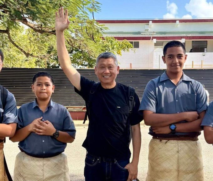
The fourth region is Polynesia. If we speak only of the independent island nations in this part of the Pacific, they include Samoa, Tonga and Tuvalu.
But Polynesia in the broader geographical and cultural sense extends much farther, encompassing places such as the Cook Islands and Niue, which are self-governing states in free association with New Zealand, as well as French Polynesia and American Samoa.
Polynesians often have a strong build, with skin tones ranging from brown to darker shades, and their traditional cultures remain very much alive. A woman wearing a flower behind her ear is one of those wonderfully familiar South Pacific images.
English is also widely spoken throughout much of the region. During my own journey through the region, I was particularly impressed by the cleanliness of Apia, the capital of Samoa, and its roads.

Tonga is especially fascinating. It is the only Indigenous monarchy in the Pacific islands that has survived continuously into the modern era, and today, it remains a constitutional monarchy.
Then there is Tuvalu, which is extraordinary in an entirely different way: the whole country has only 26sq km of land and a population of roughly 11,000 people.
If you truly want to understand this enormous, far-flung corner of the world, I don’t think staring at a map is enough.
You have to go there yourself – island to island, flight after flight – exploring places that remain unknown to most travellers. Only then will you begin to understand what life there is really like today.
European colonial powers ruled various Pacific Islands for generations, leaving behind political and economic systems, infrastructure and architecture, education, healthcare, languages and religion. After independence, some island nations retained much of that legacy.
Some kept only parts of it, while others deliberately restored greater prominence to Indigenous traditions and values as national identity strengthened.
There is also a very practical reality. These tiny island nations have small markets, limited populations, remote transport links and restricted land and industrial resources. Fuel, machinery, medicines and even much of their food often have to be imported.
And so you encounter a strange contradiction: the economies may be small and local wages surprisingly low, yet prices can be frighteningly high.
It is therefore wise to carry some cash when travelling through the islands. But currencies vary from country to country. The Australian dollar is useful in several Pacific destinations, though certainly not universally accepted throughout Oceania.
Of course, the economic circumstances of these island nations are far from identical. Some depend heavily on tourism, while others rely on fishing licences, remittances, phosphate resources, foreign aid or international partnerships.
It would therefore be unfair to simply label them all as “poor countries”.
As the old Chinese saying goes: When circumstances leave you with no choice, you change; once you change, a way forward appears.
After travelling from island to island, however, what I have come to appreciate most are the people.
Resources may be limited and choices may be few, but life goes on.
Standing before a Pacific Ocean so immense that there seems to be no end to it, the islanders still greet you with an easy smile and genuine friendliness.
Perhaps, after all, that is where the true wealth of these islands lies.